NOAA: El Niño strengthening; historic odds rise
NOAA’s Sept. 10 ENSO discussion says El Niño is strengthening, with Niño-3.4 at +1.8°C and a greater than 90% chance of a very strong event through winter 2026–27. CPC puts a 75% chance of a historic October–December event (RONI ≥ +2.5°C).
NOAA’s Climate Prediction Center, in its Sept. 10 ENSO Diagnostic Discussion, said El Niño is strengthening, with a greater than 90% chance of a very strong event through Northern Hemisphere fall and winter 2026–27 and a 75% chance that October–December will be historic by CPC’s definition.
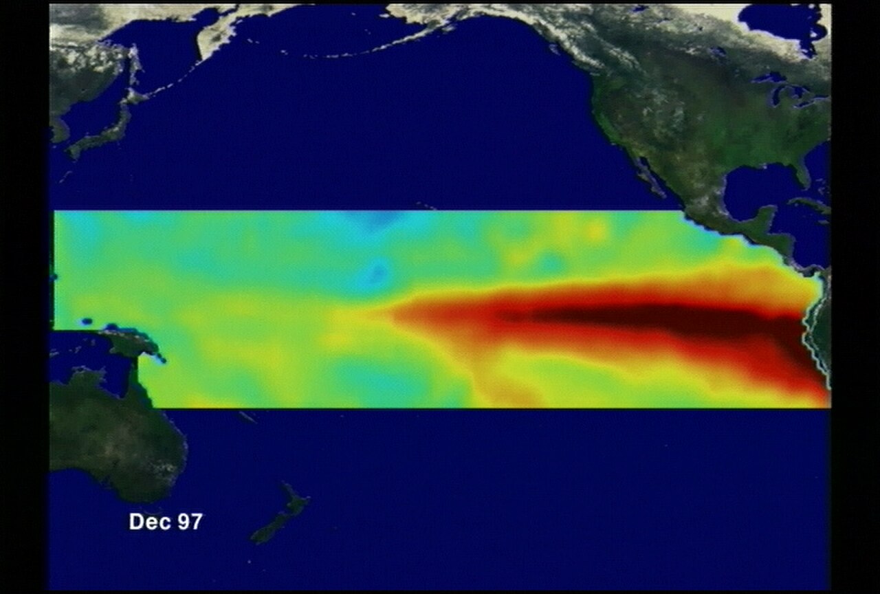
Sea-surface temperature anomalies exceeded +3.0°C in parts of the eastern equatorial Pacific. Niño-3.4 reached +1.8°C, Niño-3 +2.5°C, and Niño-1+2 +3.4°C, while Niño-4 eased to +0.1°C. The equatorial subsurface temperature index stayed elevated, with widespread anomalies above +10°C at depth and a deeper-than-average thermocline. Low-level westerly and upper-level easterly wind anomalies spanned the western to east-central Pacific; convection was enhanced from the central to eastern Pacific and suppressed over Indonesia. Southern Oscillation indices remained negative—collectively a strengthening El Niño under an active El Niño Advisory.
CPC’s outlook, synthesizing North American and international models, expects further strengthening through year-end. For October–December 2026, CPC puts a 75% chance of a historic event defined as a three-month Relative Oceanic Niño Index at or above +2.5°C, exceeding prior events since 1950. Impacts consistent with El Niño become more likely at that magnitude but are not guaranteed; seasonal outlooks still assign probabilities rather than certainties. The next ENSO discussion is scheduled for Oct. 8.
CBC’s hurricane-season reporting linked the same event to Atlantic quiet via wind shear, with CPC meteorologist Lindsey Long saying anomalies could surpass the 1982–83 winter record near +2.4°C and possibly reach +2.6 to +2.7°C. For U.S. readers, the science card’s core is the official strength forecast—not day-to-day storm counts—while noting that a historic El Niño raises odds of classic teleconnections without locking in any single regional outcome.