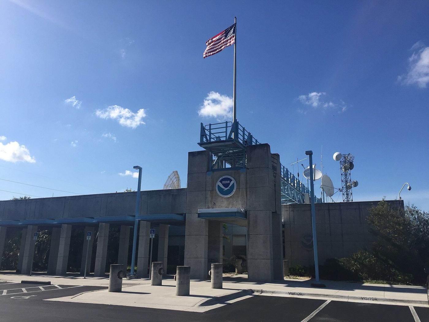
Hurricane watch goes up from Mississippi to Florida Panhandle for Isaias
The National Hurricane Center issued a hurricane watch Wednesday from Bay St. Louis, Mississippi, to Indian Pass, Florida, as Tropical Storm Isaias grew to 45 mph in the Gulf. A storm surge watch runs from the mouth of the Mississippi River to Yankeetown, Florida. Isaias should become a hurricane Thursday and reach the coast late Friday.
Hurricane and storm surge watches are now up along the northern Gulf Coast as Tropical Storm Isaias grows stronger. The National Hurricane Center issued them in its 10 a.m. CDT advisory Wednesday.
A hurricane watch covers the coast from Bay St. Louis, Mississippi, to Indian Pass, Florida. That includes Mobile, Alabama, and Pensacola, Florida. A watch means hurricane conditions are possible there. A storm surge watch runs from the mouth of the Mississippi River east to Yankeetown, Florida. Tropical storm watches cover the coast from the Jefferson-Plaquemines Parish line in Louisiana to west of Bay St. Louis, and from east of Indian Pass to the Aucilla River in Florida. The Clarion Ledger and The Palm Beach Post reported the same watch areas.
An Air Force Reserve hurricane hunter plane found the center Wednesday morning. Top winds had risen to 45 mph. The storm sat about 540 miles south-southwest of the mouth of the Mississippi River, moving east-northeast at 8 mph. The center expects rapid strengthening, with Isaias becoming a hurricane Thursday and peaking near 110 mph over the central Gulf. That would be a strong Category 2 storm.
Tropical storm conditions could begin in the watch areas by midday Friday, and hurricane conditions late Friday. Water could rise 5 to 7 feet above ground from Ocean Springs, Mississippi, to Indian Pass, including Mobile Bay, if the peak surge hits at high tide. The deepest water would be near and east of where the center comes ashore.
Rain is a big threat too. From Friday through the weekend, 3 to 6 inches could fall from far southeastern Louisiana to the Florida Panhandle, with up to 10 inches in spots. Up to 5 inches could fall across much of the Southeast, as far north as the Tennessee Valley and the Carolinas. Flash flooding is possible.
Florida Gov. Ron DeSantis declared a state of emergency for 25 North Florida counties on Tuesday. Mississippi's emergency agency urges people to know their evacuation routes and keep three to five days of supplies, the Clarion Ledger reported.
The center said more watches and warnings could come later Wednesday. Its next full advisory is due at 5 p.m. ET. Updates are posted at hurricanes.gov.
What we know: Hurricane and surge watches cover much of the coast from Mississippi to Florida's Big Bend.
What we don't: Exactly where Isaias will come ashore and how strong it will be.
Where outlets agree The hurricane center, the Clarion Ledger and The Palm Beach Post all report a hurricane watch from Bay St. Louis to Indian Pass and a storm surge watch from the mouth of the Mississippi River to Yankeetown.
Where they differ Nola.com's earlier report pointed to landfall near the Alabama-Florida line, while hurricane specialist Michael Lowry, quoted by The Palm Beach Post, sees it most likely between coastal Mississippi and the western Florida Panhandle.