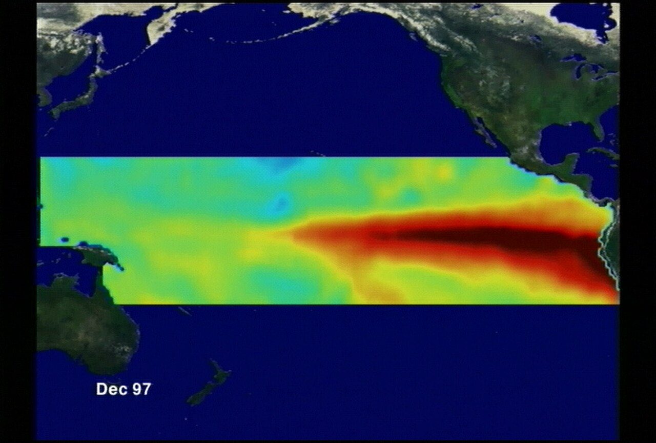
CPC: very strong El Niño odds top 90% into winter
NOAA's Climate Prediction Center said in its September update that El Niño should strengthen through winter, with greater than 90% odds of a very strong event in the November–January window. The next advisory is due Oct. 8. U.S. winter temperature and rain patterns often shift under strong El Niño.
El Niño is not fading. NOAA's Climate Prediction Center September advisory said the pattern should strengthen through winter, with more than 90% odds of a very strong event during the November–January season. The next full update is scheduled for Oct. 8.
El Niño is a warming of the central and eastern tropical Pacific that reshapes the jet stream. In the United States, strong events often mean wetter, cooler winters across the South and milder conditions in parts of the North, though no single season matches the textbook map perfectly.
Farmers, road crews, and energy traders watch the updates because heating demand, drought relief, and storm tracks can all shift. California and the Gulf Coast often look for wetter odds, while the Pacific Northwest can trend drier than average in some strong events.
CPC publishes probabilities, not guarantees. Local forecasts still matter week to week. The Oct. 8 advisory will refine strength odds and may adjust regional outlooks used by emergency managers.
Readers can follow the ENSO blog and the monthly diagnostic discussion for plain-language charts. Treat social-media maps that erase uncertainty as entertainment, not planning tools.
Emergency managers in flood-prone Southern counties use the outlook to pre-stage pumps and sandbags before winter storms. Ski towns in the West watch the same advisory for snowpack odds that feed summer water supplies.
What we know: CPC's September call keeps very strong El Niño odds above 90% for NDJ, with a fresh update due Oct. 8.
What we don't: Exactly how regional U.S. winter anomalies will verify once the season is over.
Where outlets agree NOAA CPC's September ENSO advisory is the primary source for the >90% very-strong NDJ probability and the Oct. 8 update timing.
Where they differ Private outlook shops sometimes show slightly different regional winter maps even when they agree El Niño will be strong.