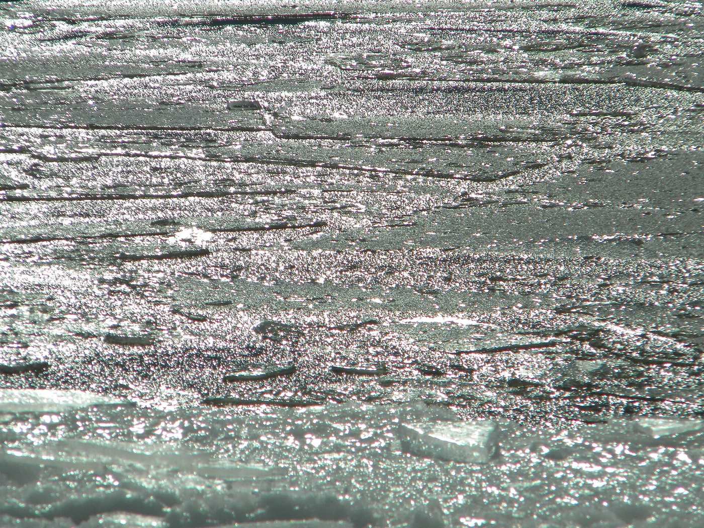
Open Arctic water swamps El Niño’s autumn chill
Alaska climate analyst Rick Thoman finds late-summer sea-ice loss now overwhelms El Niño’s usual grip on Arctic autumn temperatures. Open water keeps pumping heat after the sun fades. NSIDC’s 2026 minimum tied for tenth lowest as a very strong El Niño builds.
Arctic autumns used to lean cooler in El Niño years. Rick Thoman’s Alaska climate analysis of 13 moderate-or-stronger El Niño autumns since 1970 finds that pattern has flipped under ice loss. After the mid-September minimum, open water acts like a heating pad, releasing ocean heat into the atmosphere around the clock as sunlight fades. That regional heat source, Thoman argues, now swamps whatever influence the tropical Pacific still has on high-latitude storm tracks.
The National Snow and Ice Data Center said Arctic sea ice likely bottomed at 4.60 million square kilometers on Sept. 12, tying 2008, 2010, and 2025 for tenth lowest in the satellite era. Every one of the last 20 minimums sits in the last 20 years. By late November, ice typically recovers more than half of the summer loss — but autumn extent has fallen sharply since the 1980s, leaving more dark water to warm the air.
NOAA’s Climate Prediction Center says El Niño is strengthening further, with greater than 90% odds of a very strong event through Northern Hemisphere fall and winter 2026–27. Eastern Pacific surface waters have run more than 3°C above average. Thoman’s point is not that El Niño vanished; it is that cryosphere change now dominates the local temperature ledger for communities from Alaska’s coast to the Canadian Archipelago.
For households and Indigenous coastal towns, the practical stake is heat, storms, and freeze-up timing — when travel ice forms, when storms fetch longer waves over open water, and how autumn precipitation maps shift. Shipping lanes and research camps feel the same open-water season. A full melt-season analysis was due in early October from ice centers.
What we know:
Thoman’s composite shows sea-ice loss overwhelming El Niño’s autumn temperature signal; NSIDC’s 2026 minimum tied near the tenth-lowest mark as CPC flags a very strong El Niño.
What we don’t:
How strongly this year’s peak El Niño will still reshape mid-latitude jet streams once Arctic open-water heat release peaks in October and November.
Where outlets agree Thoman’s Alaska analysis and NSIDC’s minimum report agree late-summer ice loss leaves more open water heating Arctic autumns as El Niño strengthens.
Where they differ Researchers still split on how much tropical El Niño can still steer high-latitude storm tracks once open-water heat release dominates.