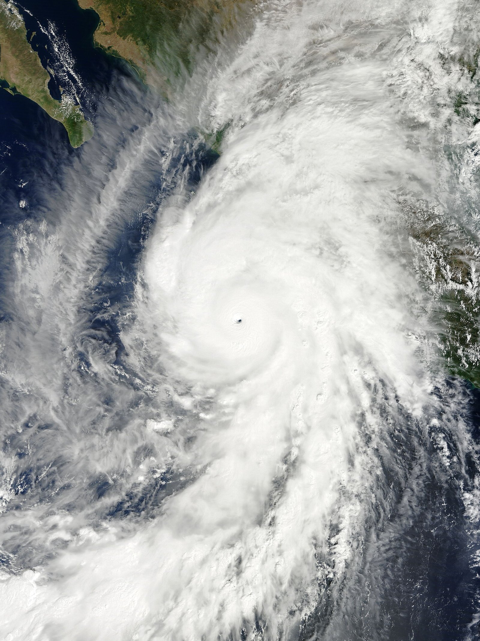
Hurricane Polo hits Category 5 off Mexico’s Pacific coast
NOAA Hurricane Hunters measured sustained winds near 180 mph as Polo became the eastern Pacific’s third Category 5 of the season. The slow mover is expected to stay offshore but drive deadly rain, floods, and surf along southwestern Mexico amid record-warm El Niño seas.
Hurricane Polo intensified into a rare Category 5 storm off southwestern Mexico, with NOAA Hurricane Hunter aircraft recording sustained winds near 180 mph (285 km/h) on Tuesday, the BBC and National Hurricane Center advisories said, calling the 24-hour strengthening “truly remarkable.”
The slow-moving cyclone is the eastern Pacific season’s third Category 5, fueled by extremely warm waters linked to a record-strength El Niño. NHC labeled Polo “extremely dangerous” and said a conducive environment could keep it at Category 5 for days even while the center is forecast to remain offshore. Rainfall of 6 inches, locally 8, threatens floods and mudslides in Jalisco, Colima, and Michoacán; Mexico’s President Claudia Sheinbaum said information indicated no direct landfall but urged coastal vigilance against life-threatening surf and swells.
Scientists note daily sea-surface temperatures in a key Niño region hit 3.05°C above average on September 19, edging past the 2015 record and helping explain the rapid intensification. Google Trends showed lingering U.S. searches for Hurricane Polo as Pacific watches continued. Accounts agree on the Category 5 status, offshore track preference, and rain threat; they diverge mainly on how far inland flood impacts will reach if the storm’s rain shield expands.
NewsHabit uses NOAA figures and Mexican government guidance; satellite imagery for cards is generic Pacific major-hurricane context where a same-day Polo photo is unavailable under free licenses. Officials and independent outlets continue updating confirmed details as they become available. Officials and independent outlets continue updating confirmed details as they become available. Officials and independent outlets continue updating confirmed details as they become available.
Where outlets agree BBC and NOAA agree Polo reached Category 5 with ~180 mph winds and a primarily offshore track posing rain and surf hazards to southwestern Mexico.
Where they differ Exact inland flood footprints remain forecast-dependent as the rain shield evolves.