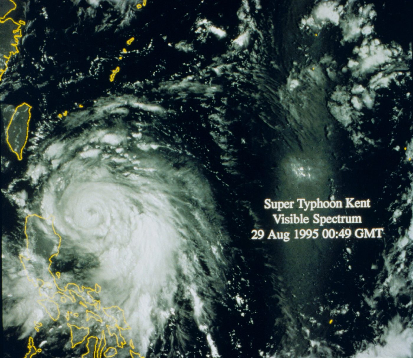
Super Typhoon Champi reaches peak strength as it heads toward Taiwan
Super Typhoon Champi has reached peak strength over the Philippine Sea, according to Weathernews. It is heading toward waters east of Taiwan and Japan's southern islands. Forecasters expect it to stay very strong through Thursday and then slowly weaken near Taiwan.
Typhoon Champi has reached its peak intensity over the Philippine Sea and is heading toward waters east of Taiwan and Japan's Sakishima Islands, according to Weathernews, a private weather forecasting company.
As of 11:45 p.m. Eastern time Tuesday, Champi had sustained winds of 115 knots, or about 132 mph, and gusts of about 190 mph, based on Japan Meteorological Agency observations cited by Weathernews. Its central pressure was 900 hectopascals, which Weathernews called rare and extraordinarily deep. The storm was about 520 miles south of Miyakojima, Japan, and moving west-northwest.
The US National Weather Service office in Guam measured the storm differently. Its final advisory on Champi, issued at 11:50 p.m. Eastern time Tuesday, put maximum sustained winds at 180 mph and called it a super typhoon. The advisory said the storm was about 1,065 miles west-northwest of Guam and had left the Guam office's area of responsibility.
Weathernews expects Champi to stay at "violent" typhoon strength through Thursday, October 22. It should begin weakening on October 23 as it nears Taiwan and meets cooler water, the company said. The National Weather Service said it will remain a major typhoon as it moves toward Taiwan before curving toward the Ryukyu Islands.
The storm is projected to approach the sea passages between Taiwan and the southern Ryukyu Islands through October 24, then cross the East China Sea toward western Japan by October 26, according to Weathernews. It warned of life-threatening conditions for ships in the region from October 21 to October 25.
Japan's weather agency calls the storm Typhoon No. 30. NewsHabit reported on Tuesday that Champi had entered the Philippine area of responsibility.
What we know: Champi is at peak strength and heading toward waters east of Taiwan before curving toward Japan.
What we don't: How close it will come to land. Only Weathernews has reported this so far; NewsHabit hasn't seen independent confirmation.
Where outlets agree Weathernews and the National Weather Service in Guam both place Champi near 18.4 degrees north and 129.5 to 129.6 degrees east, moving west-northwest toward Taiwan.
Where they differ Weathernews, using Japan Meteorological Agency data, puts sustained winds at 115 knots, or about 132 mph, while the National Weather Service in Guam puts them at 180 mph.