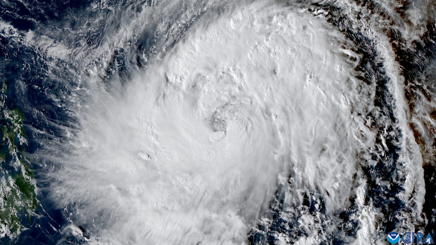
Super Typhoon Champi enters Philippine area as Taiwan watches its path
Super Typhoon Champi entered the Philippine monitoring area on Tuesday and was given the local name Rosal. It had winds of 185 kilometers per hour far east of Luzon. Forecasters do not expect it to hit the Philippines, but Taiwan says it could turn north near the island or cross it.
Super Typhoon Champi entered the Philippine Area of Responsibility at 10:40 a.m. Tuesday Manila time, or 10:40 p.m. Monday ET, and was given the local name Rosal, Rappler reported, citing the state weather bureau PAGASA.
At the time, the storm was 1,385 kilometers east of Central Luzon, moving west-northwest at 25 kilometers per hour. Its maximum sustained winds were 185 kph, about 115 mph, with gusts up to 230 kph, Rappler reported. On Monday evening its winds had peaked at 195 kph. It is the Philippines' 18th tropical cyclone of 2026 and the first of October.
PAGASA's forecast track shows Rosal is unlikely to make landfall in the Philippines, Rappler reported. But because of its size and strength, it will still affect parts of the country. PAGASA raised Signal No. 1 at 11 a.m. Tuesday local time for Batanes, the eastern Babuyan Islands, eastern mainland Cagayan, northeastern Isabela and northeastern Catanduanes. That gives those areas 36 hours to prepare for strong winds. The highest signal expected is No. 2 or No. 3. The storm's outer bands could also bring scattered rain, flash floods and landslides to Catanduanes and Samar.
In Taiwan, forecasters say the storm's path is still uncertain, Taiwan News reported. The Central Weather Administration's projected track takes Champi toward waters east of Taiwan before it turns north. But meteorologist Wu Der-rong said the average path in the latest European model shows it crossing Taiwan on Friday or Saturday, while other runs keep it offshore, according to Taiwan News, citing the CNA news agency.
The agency could issue a sea warning as early as Wednesday night and a land warning Thursday evening or Friday morning, Taiwan News reported. Northern Taiwan and Yilan County could see heavy rain Friday and Saturday, depending on the track.
What we know: Champi, called Rosal locally, is a super typhoon east of Luzon and is not expected to hit the Philippines.
What we don't: Whether it will cross Taiwan or turn north before reaching the island.
Where outlets agree Rappler and Taiwan News both report that the storm is a powerful typhoon heading west toward the waters between the Philippines and Taiwan, with its worst effects later this week.
Where they differ The cited reports agree on the key facts so far.