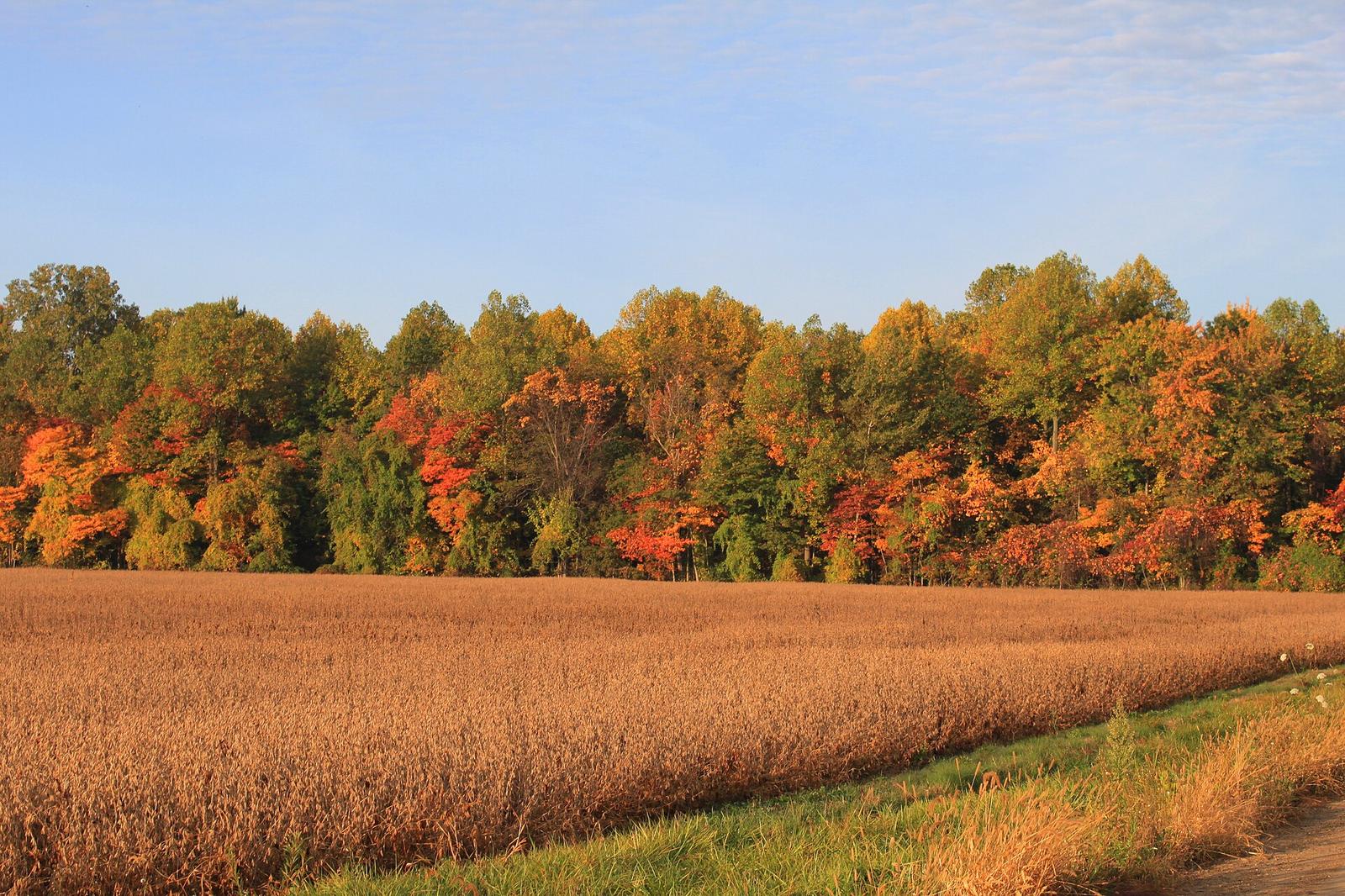
Fall colors are spreading. Here's how to find peak foliage
Fall foliage is moving south across the U.S., and states are rolling out maps to help leaf-peepers. Massachusetts updated its interactive foliage map for 2026, and the Old Farmer's Almanac tracks peak timing nationwide. Michigan's colors move from the Upper Peninsula south through October.
Leaf-peeping season is here, and there are new tools to help you catch the best colors.
Massachusetts' Department of Conservation and Recreation has brought back its Interactive Fall Foliage Map, updated for 2026, the Jamaica Plain Gazette reported. The map shows where leaves have started to change across the state and how far along they are.
"Fall is one of the best times to get out and enjoy Massachusetts, and our state parks are some of the most beautiful places to see the season," the agency said.
The Old Farmer's Almanac releases a national fall foliage map each year that predicts when colors will peak in different regions, Mental Floss reported. Peak timing moves from north to south and from high elevations to low ones.
In Michigan, leaves begin changing in the Upper Peninsula in late September, then sweep through the northern Lower Peninsula in early October before reaching southern areas, ClickOnDetroit reported, citing the Farmer's Almanac.
Leaves change color as days get shorter and nights get cooler. Trees stop making chlorophyll, the green pigment, which reveals yellow and orange pigments that were there all along. Reds and purples come from new pigments made in the fall.
Weather matters. Sunny days and cool, but not freezing, nights bring the brightest colors. Drought or a sudden hard freeze can dull them or make leaves fall early.
Experts suggest checking local foliage reports before a trip, since peak color can last only a week or two in any one place. Weekday visits can help you avoid crowds on popular scenic roads.
What we know: Massachusetts updated its interactive foliage map for 2026, and the Old Farmer's Almanac tracks peak timing nationwide.
What we don't: Exactly when colors will peak in each area, which depends on the weather.
Where outlets agree The Jamaica Plain Gazette and ClickOnDetroit both point leaf-peepers to maps that track when colors peak.
Where they differ The outlets cited here report the same key facts so far.