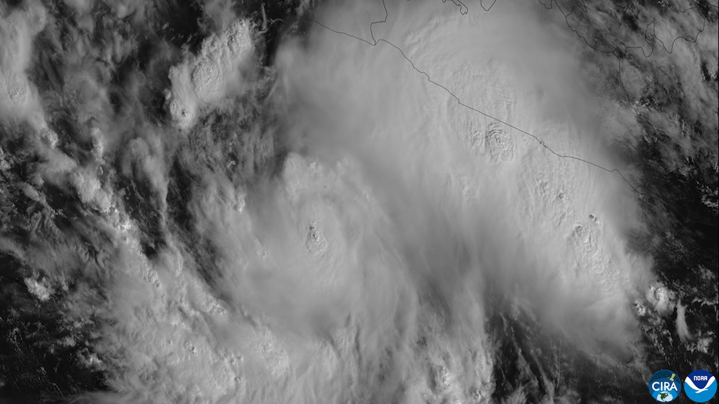
Hurricane Simon expected to hit Mexico as dangerous Category 4 storm
Hurricane Simon is expected to grow fast into a very strong storm before it reaches Mexico's Pacific coast on Saturday, the National Hurricane Center says. A hurricane warning is in effect for part of the coast. Up to 25 inches of rain could cause deadly floods and mudslides in four Mexican states.
Mexico's Pacific coast is bracing for a powerful hurricane this weekend. Hurricane Simon had top winds near 90 mph early Friday and was about 220 miles south of the port of Manzanillo, the National Hurricane Center said in its 3 a.m. Central time advisory.
Simon was moving northwest at about 5 mph. Forecasters expect it to turn north Saturday morning and bring its core near the coast of southwestern and west-central Mexico on Saturday. The center says rapid strengthening is expected to continue and that Simon should become a dangerous Category 4 hurricane by Saturday.
Conditions favor fast growth, BNO News reported, including low wind shear, plenty of moisture and very warm water. One forecast model cited by the hurricane center put the chance of rapid strengthening over 24 hours at more than 70%. The center's forecast on Thursday called for winds of 130 mph by early Saturday.
A hurricane warning is in effect from Punta San Telmo to Punta Mita, and a tropical storm watch covers the coast east of Punta San Telmo to Lázaro Cárdenas. Hurricane conditions are expected in the warning area Saturday evening or Sunday, with tropical storm conditions arriving Saturday morning. More warnings could be issued later Friday.
Rain may be the biggest danger. Simon is expected to bring 8 to 15 inches of rain to parts of southwestern Mexico, with up to 25 inches in some areas of Michoacán, Colima, Jalisco and Nayarit through Sunday. That could cause life-threatening flooding and mudslides, especially in steep mountain areas.
A dangerous storm surge with large, destructive waves is possible near and east of where the center comes ashore. Swells will also bring life-threatening surf and rip currents along the coast for several days.
The exact landfall point is still uncertain. Forecasters said computer models disagree on where and when Simon will turn toward the coast, BNO News reported.
What we know: Simon is expected to strengthen quickly and reach Mexico's coast on Saturday.
What we don't: Exactly where it will make landfall.
Where outlets agree BNO News and the AP both report that Simon is expected to become a Category 4 hurricane before it reaches Mexico's Pacific coast.
Where they differ The outlets cited here report the same key facts so far.