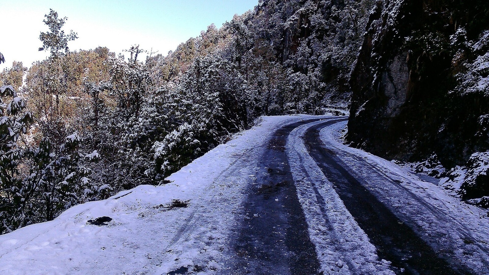
Early snowfall outlooks eyed as fall pattern shifts
Long-range maps tease early snow chances in northern tiers. Pattern forecasts remain probabilistic this early.
Long-range outlooks are beginning to hint at early-season snow chances across northern tier states as fall patterns evolve, a soft science story that still drives retail and travel planning. Ensemble forecasts this early are probabilistic, not promises of a blizzard next Tuesday.
Lake-effect regions and high terrain see the first credible risks. Urban cores farther south usually wait.
Use NWS and NOAA Climate Prediction Center products over viral maps with no model label. Pack layers, not panic.
Outlets agree Flight 14’s orbital success and the CAFE emissions debate are the week’s twin physical-science leads.
Space coverage is largely celebratory on milestones; climate coverage splits on the CAFE rule’s emissions math.
Named reporting on this item includes Ars Technica, Space.com, and Associated Press. Prefer those links and primary documents over undated social clips when details shift.
Long-range maps tease early snow chances in northern tiers. Pattern forecasts remain probabilistic this early.
Forecast and climate-policy cards update when agencies publish new numbers; treat long-range outlook language as provisional until the next official product.
Cross-check any sudden claim against the 3 outlets already attached (Ars Technica, Space.com, Associated Press) before resharing it.
Agency outlooks and rulemaking dockets beat viral maps. When a forecast or emissions path is the point, quote the product name and issue time from the source.
Details on this Science & Climate item can still move during Tuesday dayparts; prefer the linked outlets when a number or meeting time changes.
If a midday update revises a figure, match it across at least two independent outlets before treating a single post as settled.
Where outlets agree Outlets agree Flight 14’s orbital success and the CAFE emissions debate are the week’s twin physical-science leads.
Where they differ Space coverage is largely celebratory on milestones; climate coverage splits on the CAFE rule’s emissions math.