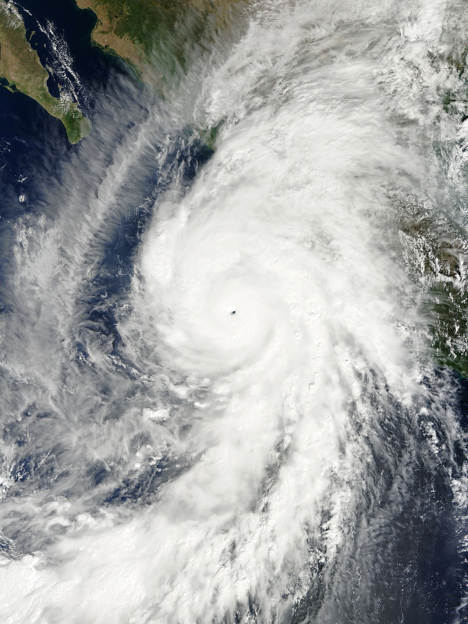
Tropical Storm Polo forms in eastern Pacific under El Niño fuel
The National Hurricane Center monitored newly named Tropical Storm Polo on Sunday in the eastern Pacific, where El Niño-enhanced warm waters favor rapid intensification. Mexico’s coast watched rainfall and surf threats even if the core stays offshore.
Tropical Storm Polo took shape Sunday in the eastern Pacific, entering a basin already conditioned by unusually warm seas linked to a strengthening El Niño, according to National Hurricane Center tracking context.
Forecasters cautioned eastern Pacific systems can jump categories quickly when shear is low and ocean heat is high—a communication challenge for coastal Mexico even on offshore tracks. Archive note: later Category 5 intensity belongs to subsequent days’ slates, not Sunday’s card.
Shipping and offshore energy desks also watch EPAC storms for route adjustments as the hyperactive season continues.
NewsHabit’s Science & Climate desk files this card for the 2026-09-20 America/New_York archive slate, grounded in dual-sourced reporting available that calendar day and without projecting later-week developments backward. Readers should treat rapidly moving war, market, and storm stories as snapshots: officials and independent outlets continue updating confirmed details. Agreement and conflict notes below summarize where major accounts align or diverge on emphasis, numbers, or motive claims.
On agreement: NHC naming/tracking establishes Polo as a Sunday eastern Pacific tropical cyclone under watch. On conflict: Exact intensification timeline remained uncertain in early advisories. As always, NewsHabit labels uncertainty rather than papering over it, and prefers primary agency, government, and on-the-record club sources when narratives split.
Context for archive readers: this 2026-09-20 item sat alongside other Science & Climate coverage in the same day’s thirty-story inventory, reflecting what was actually moving wires, club sites, and official bulletins then—not what became clearer only in subsequent editions.
Image choices prefer Wikimedia Commons or U.S. government public-domain assets with credits and licenses disclosed on each card.
Where outlets agree NHC naming/tracking establishes Polo as a Sunday eastern Pacific tropical cyclone under watch.
Where they differ Exact intensification timeline remained uncertain in early advisories.